Topographical Survey Maps of Kylemore Abbey Model Farm
15 - 23 Lúnasa, 10rn - 6in
- Kylemore Abbey Castle, Staircase Hall
- Kylemore, Connemara, Ireland
- H91 VR90
- Co. Gaillimhe – Contae
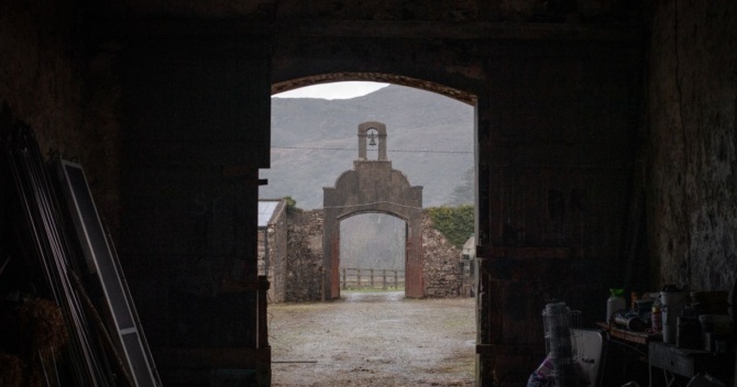
This display exhibits recently drafted topographical survey maps of Kylemore Abbey’s Victorian Model Farm. An often-unknown part of the Kylemore estate, this complex of historic farm buildings was developed by Mitchell Henry into a centre of agricultural and technological innovation in the 1860s to 1890s.
With support from the Heritage Council, Kylemore Abbey has commenced a Conservation Plan to safeguard and protect the remains of Mitchell Henry's historic Model Farm at Kylemore Abbey, one of the finest surviving examples of a Victorian model farm in the west of Ireland.
The survey maps are the first stage of a larger project that will bring together a multidisciplinary team of conservation architects, archaeologists, historic landscape specialists, survey engineers and other heritage professionals to develop a comprehensive Conservation Plan. This plan will guide the long-term preservation, management and future use of this unique heritage site.
Visitors are invited to explore the maps and discover the history, significance and future conservation of one of the most remarkable and least-known areas of the Kylemore Estate.
Location: Staircase Hall, Kylemore Abbey Castle
Foghlaim níos mó faoin eagraitheoir
Cineál Imeachta
Deontas Comhairle Oidhreachta
Tá an imeacht seo mar chuid de tionscadal a bhfuil maoiniú faighte aige ó Scéim Deontais na gComhairle Oidhreachta i 2026.
