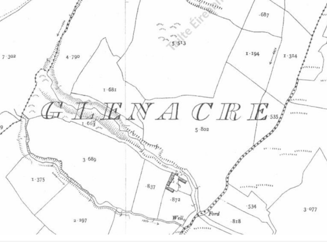
Townlands of Arra. Historical Maps of Glenacre and Curraghmore
Step back in time and discover the changing story of some of Boher's townlands through an exhibition of historical maps and census records.
This unique exhibition features a display of ordnance survey maps created in the 1890s. These maps capture the parish as it appeared at the close of the nineteenth century. Supported by information from the 1901 Census, the display offers a rare opportunity to connect names with places and to trace where families lived over a century ago.
A special feature of this exhibition is a collection of maps that chart the landscape and population of the Glenacre area before and after the Great Famine, revealing the dramatic impact this defining event had on local communities. Visitors will be able to explore how families, farms, and settlements changed over the decades, gaining a deeper understanding of the people who once lived and worked in these hills.
For anyone researching family history, interested in local heritage, or simply curious about the lives of previous generations, this exhibition provides a valuable window into the past. Through maps, records and local knowledge, visitors can explore the story of a community shaped by change and perhaps even discover a connection to their own ancestors.