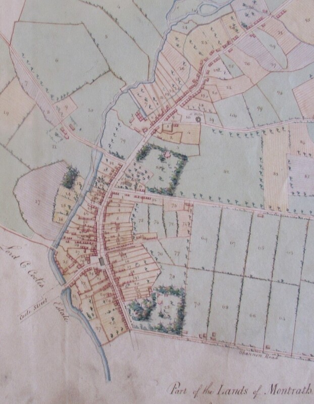
Exploring Laois Estate Maps, 1700-1840
Join us for an illustrated talk by Arnold Horner on Laois estate maps, 1700-1840.
It will include discussion about maps of the Coote estate, 1813-1815, in the Mountrath area. The Delany Archive is currently having these maps conserved and digitised courtesy of a Heritage Council grant, and they will be available later this year on our website, www.delanyarchive.ie.
Arnold Horner formerly taught Geography at University College Dublin. He has written extensively on the history of mapping Ireland and on the historical geography of Ireland. Two of his most recent books, 'Mapping Laois: from the 16th to the 21st centuries' (2018), and 'Mapping South Kerry: 450 years of a changing landscape' (2023) were awarded the Nilsson Prize for non-fiction at Listowel Writers' Week.
Foghlaim níos mó faoin eagraitheoir
Cineál Imeachta
Deontas Comhairle Oidhreachta
Tá an imeacht seo mar chuid de tionscadal a bhfuil maoiniú faighte aige ó Scéim Deontais na gComhairle Oidhreachta i 2025.
![]()