Aerial Phototography of Blessington - Before the Waters
17, 24 Lúnasa, 10rn - 4in
- Blessington Tourist Office
- Unit 8, New Town Square, Blessington, Co. Wicklow
- W91 ED72
- Co. Cill Mantáin
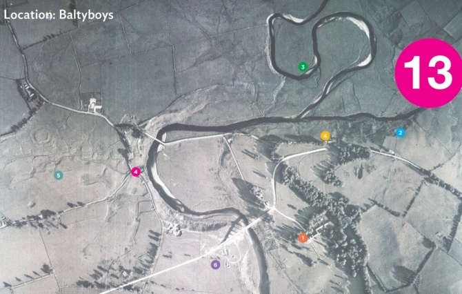
Blessington History Society is hosting an exhibition for Heritage Week of aerial pictures of the upper Liffey valley which were taken in May 1939. The exhibition displays a selection of aerial pictures which represent a unique visual record of the villages and countryside of the area prior to the creation of the reservoir, the forestry plantations, and the development of housing, roads, and industry from the 1970s.
Aerial pictures are presented for Blessington, Ballyknockan, Lacken, Hollywood, Russborough and Russelltown, Ballinahown, Valleymount, Liffey and King’s rivers confluence at Baltyboys, Lugnagun, Baltyboys Lower and the construction of the dams at Poulaphuca and Golden Falls.
Blessington History Society is very interested to engage with local people whose families were affected by the flooding and who wish to share memories, images and artefacts from that time.
Blessington Tourist Office W91 ED72: Saturday 16th – Sunday 24th August 2025
Monday to Thursday 10 am to 4 pm, Friday 10 am to 9 pm,
Saturday 9 am to 4 pm, Sunday 10 am to 4 pm
‘Before the Waters’ exhibition has been developed by Blessington History Society in cooperation with local historians and archaeologists and is a partnership project supported by the Heritage Office of Wicklow County Council and co-funded by The Heritage Council.