Visit to Lisduff Ring Fort
22 August, 11am - 1pm
- Google map link https://maps.app.goo.gl/x8KxMJmuyhyuA8Sg9?g_st=ic
- Cliff Drive, Moveen, Kilkee ,
- Co. Clare
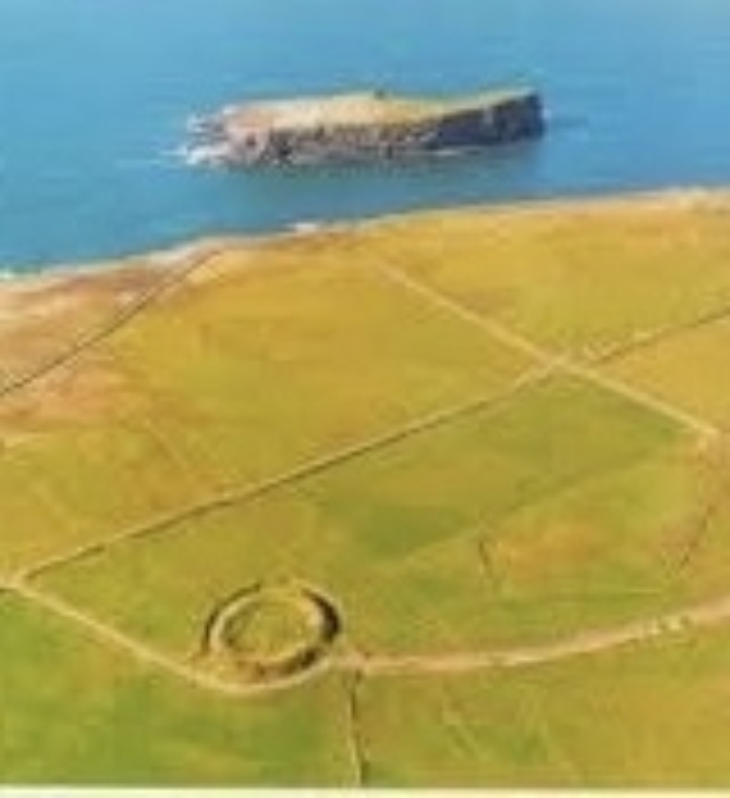
Lisduff Ring Fort is an Iron Age and Early Medieval fortification that served as the primary centre of tribal power and military lookout on the Loop Head peninsula. It is the largest Ring Fort in the area and is in view of 7 smaller ones. Located on a high coastal shoulder in the Moveen West townland, its name translates from the Irish An Lios Dubh, meaning "The Black Fort".
The site played a critical role in local defense, tracking naval and land invaders approaching the Shannon Estuary and Atlantic coastline.
It is very perfect and nearly circular, being 105 feet to 108 feet across the garth, 190 feet over the ring, and 223 feet over all. The fosse is cut into the rock for 4 feet to 6 feet deep, and varies in width from 17 feet at the north to 18 feet at the gangway (east), and 10 feet to the south.
This is a great opportunity to visit this site on private lands and thanks to the owner for giving us permission.
The entrance to the car park is easily found as one of our members will be at the roadside turn with a sign. From Kilkee take the cliff drive west towards Loop Head and the car park entrance is just past Castle Point opposite Healy's Island.
This is a special one off event with the kind permission of the private land owners.
Please follow fenced walkway and guides. Suitable shoes and clothing are required.
Dogs are not permitted. No toilet facilities are available.