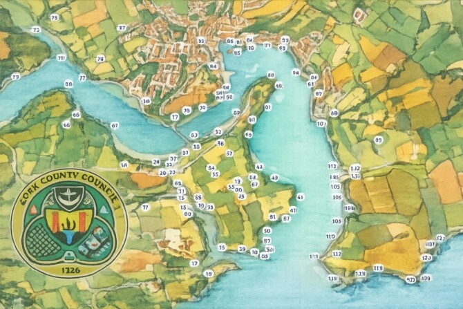
Talamh agus Tonnta : The Landscape Speaks
This exibition concentrates on the mapped coastal landscape from Dunworley to the Sovereign Islands.
The graphics are the work of Cian Walsh, a painted map by Margaret O'Dwyer and information supplied by Jerome Lordan and Brian O'Dwyer. Included in the collection are two parish maps of Kilbrittain and Courceys with information on various townlands as well as extracts from Bruno O'Donoghue's publication, Parish Histories and Place-names of West Cork. Each area section is broken down into individual maps outlining the following topics, archaeology, shipwrecks, minor place-names and historical events.
It is open for the month of August at Kinsale library exibition area, thanks to Cork County Council. It will be launched by Shannon Forde, manager of the Old Head Signal Tower and Lusitania Museum on Thursday 6th August at 7.30pm.
The exibition Talamh agus Tonnta: The Landscape Speaks, will be open for the month of August, thanks to Cork County Council.
This is an exibition of maps covering minor place-names, townland mapping, archaeology and shipwrecks of the local coastal area.
At 3pm in Kinsale Library on Friday 21st at 3pm during National Heritage Week, we will have an illustrated talk on the development of the maps and the input of the different people who have contributed to it.