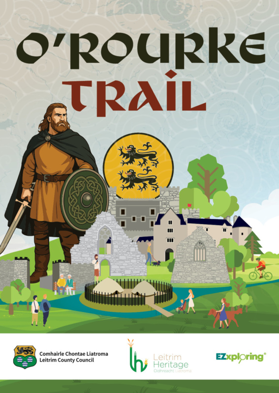
Launch of the O’Rourkes Trail: A Touring Map of County Leitrim
22 August, 3pm - 3:45pm
- Dromahair Public Library
- Kilmorna, Main St, Drumahaire, Dromahair, Co. Leitrim
- Co. Leitrim
Leitrim County Council is delighted to announce the launch of the O’Rourkes Trail: A Touring Map of County Leitrim, a new, family-friendly resource designed to help locals and visitors to easily explore the rich history of one of Ireland’s most powerful Gaelic dynasties.
Local business EZxploring created the map based on the O’Rourkes of Leitrim Heritage Audit and Interpretation Plan, which Abarta Heritage developed for Leitrim County Council.
The map brings the story of the O’Rourke clan to life through eleven key sites across the county. From ruined castles and hidden crannógs to ancient abbeys and historic strongholds, this unique guide invites users of all ages to explore Leitrim’s landscape through the lens of its legendary ruling family.
The map is available free of charge from libraries, heritage centres and local tourist offices, and can also be downloaded after the launch at www.orourkesofleitrim.ie. GPS coordinates and QR codes make it easy to navigate from site to site.
The public launch will take place at Dromahair Library on Friday, 22 August, at 3 pm, as part of National Heritage Week 2025. All are welcome to attend. Printed maps will be available to take home on the day.