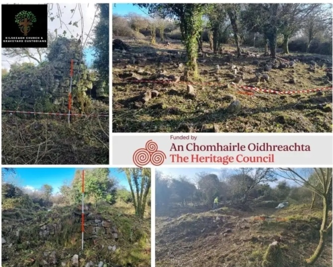
Aerial Surveys of Kilskeagh Church and Graveyard 2025
In 2025 Kilskeagh Heritage Committee were in receipt of funding from the Heritage Council of Ireland to facilitate a full aerial LiDAR and Photogrammetric survey of the archaeological remains at Kilskeagh, an overgrown and obscured area known to have been the site of a medieval church, an early modern marketplace and town, and a community graveyard.
This presentation reveals the results of that survey and reveals the archaeological richness of the overall landscape at Kilskeagh.
Kilskeagh was, in the high medieval period, an unusually busy and concentrated landscape comprised of Gaelic Irish high-status, Anglo-Norman and Ecclesiastical settlements, the remains of which were not until now fully explored or understood. This talk will be presented by Paul Naessens of Western Aerial Survey, who carried out the surveys of the site.
Find out more about the event organiser
Event Type
Heritage Council Grant
This event is part of a project supported under the Heritage Council's grants programme in 2025
![]()